Exploring Everyday Life Across Lafayette Neighborhoods
June 4, 2026
June 4, 2026
Looking for the “right” Lafayette neighborhood can feel harder than finding the right house. One area may put you close to trails and downtown activity, while another may fit your routine better with easier driving routes, shopping corridors, and larger stretches between destinations. If you want a clearer picture of how daily life really feels across Lafayette, this guide will help you compare neighborhood patterns, housing types, and lifestyle tradeoffs. Let’s dive in.
Lafayette is not one uniform neighborhood experience. The city officially recognizes areas such as Downtown, Centennial, Ellsworth Romig, Lincoln, Columbian Park, Perrin, St. Mary’s, Wabash, and Vinton, among others, which makes the city feel more like a group of distinct pockets than a single housing market.
That matters when you are house hunting. Two homes with similar square footage can offer very different day-to-day routines depending on whether you want older streets near community anchors, quick access to parks and trails, or a location tied more closely to major roads and shopping corridors.
Some parts of Lafayette also carry historic district status. City history and preservation information notes established historic districts in downtown and Historic Ninth Street Hill, with local districts overseen by the Historic Preservation Commission.
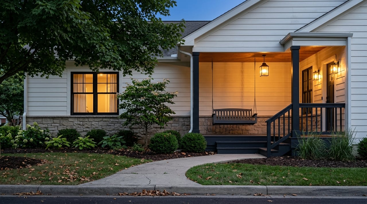
Many of Lafayette’s close-in neighborhoods offer a more connected feel. These areas tend to combine older housing, mixed-use streets, civic buildings, and community spaces in ways that can make errands, recreation, and social routines feel more woven together.
Ellsworth-Romig, now commonly called the Daffodil Neighborhood, is one of Lafayette’s earliest developed areas. City planning materials describe 19th-century architecture, row houses, double houses, and an early apartment building, giving the area a housing mix that stands apart from newer parts of the city.
The neighborhood also includes Triangle Park, South Tipp Park, the Main Library, and Bauer Community Center. That mix of homes and civic anchors can shape a lifestyle where community resources are part of your normal weekly rhythm rather than a special trip.
The Historic Centennial Neighborhood plan describes the area as a diverse urban neighborhood with a balance of housing occupancy. The plan also supports downtown living through housing diversity and access to amenities, along with mixed-use redevelopment goals along Ferry Street and nearby blocks.
For buyers, that means Centennial is worth a closer look if you want an established area with a range of housing options and proximity to central Lafayette destinations. It also helps explain why some buyers are drawn to this part of the city for convenience as much as for home style.
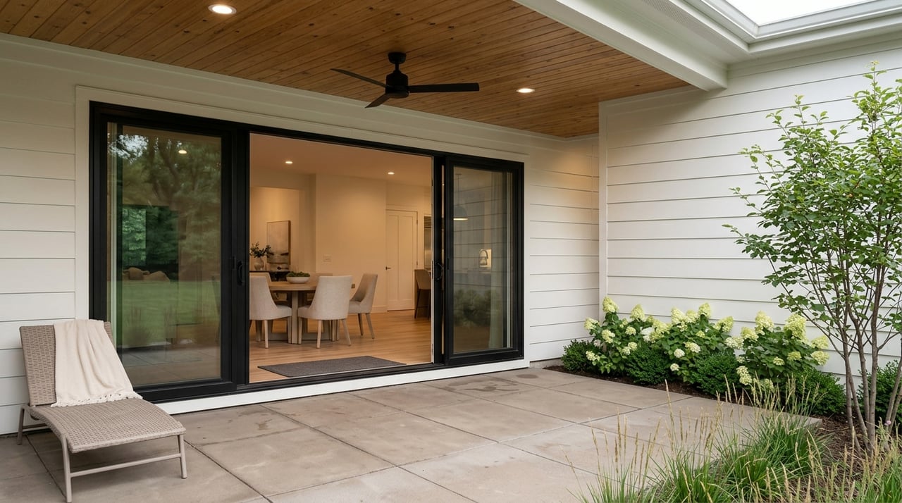
The Lincoln Neighborhood adds another layer to Lafayette’s inner ring. Planning materials point to single-family homes, duplexes, small multi-family housing, newer apartments, townhomes, and newer single-family homes.
That variety can be helpful if you are comparing price points or trying to stay flexible. Instead of thinking only in terms of older home versus newer subdivision, parts of Lafayette give you more of a middle ground in both housing form and daily feel.
In Lafayette, green space is not only a weekend feature. Lafayette Parks & Recreation says the city maintains 10 neighborhood parks, 7 community parks, 2 riverfront parks, and more than 27 miles of paved trails for walking, running, biking, rollerblading, and cross-country skiing.
For many buyers, that changes how a neighborhood functions. Access to a trail, a park, or a riverfront path can influence how you spend mornings, how often you walk outside, and how connected you feel to your area.
Columbian Park is one of Lafayette’s best-known activity hubs. It includes the zoo, Loeb Stadium, Tropicanoe Cove, the SIA Playground, picnic areas, and trails.
If you picture neighborhood life with easy access to recreation and community activity, this area can feel central to that lifestyle. It is one example of how some Lafayette neighborhoods are organized around major public amenities.
Armstrong Park on Lafayette’s south side offers a different kind of outdoor routine. The 30-acre park includes a paved trail, youth baseball fields, tennis and basketball courts, open green space, and a fishing pond.
That setup can appeal to buyers who want room for outdoor activity without needing every outing to happen in a more event-centered park. It reflects how neighborhood life can vary from one side of the city to another, even when both areas offer strong park access.
Lafayette’s trail system also works as a practical connector. City trail maps show routes such as the Munger Trail, the Linear Trail, the Wabash Heritage Trail, and the North 9th Street Trailhead Park loop.
The John T. Myers Pedestrian Bridge and nearby Riehle Plaza add another layer near the river and downtown. Because these spaces support both recreation and community events, river access in Lafayette can be part of everyday life rather than just scenic background.
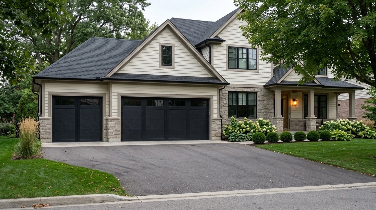
As you move farther from Lafayette’s older core, daily life often shifts. City planning materials describe growth moving toward the I-65 corridor, with SR 26 or South Street serving as the commercial center and US 231 acting as another growth direction.
In practical terms, that means some outer Lafayette routines feel more car-centered. Shopping, commuting, parking, and access to major road networks tend to play a larger role there than in areas with a tighter street grid and more nearby civic destinations.
South Street is more than a through route. County and city planning materials identify South Street or SR 26 as the metro area’s commercial center, which helps explain why so many daily errands and commute patterns run through it.
That can be a major benefit if you want convenient access to stores, services, and cross-town travel. It can also mean that your experience of “location” depends less on walkability and more on how efficiently you can move through a busy corridor.
City notices point to ongoing transportation improvements on corridors such as Creasy Lane and South 9th Street. Recent work and planning include lane updates on Creasy Lane, the Park East Boulevard corridor intended to reduce congestion on nearby roads, and South 9th Street improvements that add a multi-use trail, sidewalk, and pedestrian crossing features.
These projects show an important Lafayette trend. Some outer-area neighborhoods still depend heavily on road access, but the city is also adding more options for walking and biking where possible.
Transportation in Lafayette is a mix of local transit, trails, neighborhood street design, and regional arterials. Your experience can look very different depending on where you live.
CityBus provides fixed-route service and ACCESS paratransit in Lafayette, West Lafayette, and Purdue. County transportation planning says the system runs 14 regular fixed routes, including the Wabash Trolley Line, with the broader network centered on the CityBus Center on North 3rd Street.
That setup makes some neighborhoods easier to navigate without a car than others. Route 7 on South Street, for example, runs long weekday hours with weekend service, which can matter if you want a corridor with more transit support.
At the same time, Lafayette’s commute story is still shaped by regional roads. The city notes that US 52, SR 38, and SR 26 are state-controlled roads, so traffic flow and connectivity often depend on larger arterial routes as much as neighborhood streets.
The best Lafayette neighborhood for you depends on how you actually live. Instead of asking only whether an area is popular, it helps to think about what will make your average Tuesday easier.
Here are a few smart questions to ask as you narrow your search:
When you look at Lafayette through that lens, neighborhoods become easier to compare. You are not just buying square footage. You are choosing the pattern of daily life that fits you best.
If you are moving within Greater Lafayette, relocating from out of town, or buying for the first time, neighborhood guidance can make a big difference. A local team can help you weigh commute routes, home style, resale factors, and the feel of each pocket so your decision is grounded in more than an online listing photo.
At Gibson Realty Group, you can get local, practical guidance as you explore Lafayette neighborhoods and decide what kind of everyday life fits you best.
Stay up to date on the latest real estate trends.

A genuine love for the community paired with professional experience ensures a personalized and thoughtful approach to every client need.